


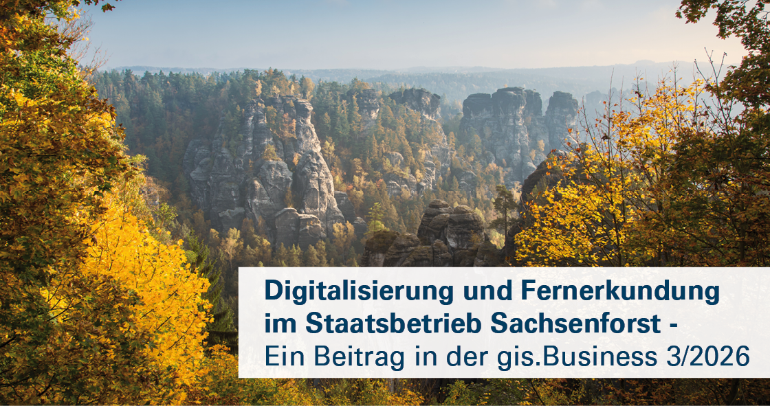
GEOSYSTEMS GmbH, together with Sachsenforst, the forestry enterprise of the Free State of Saxony, Germany, has established a centralized geospatial data infrastructure that significantly simplifies access to extensive forestry data holdings. Custom-developed web clients enable users to complete complex tasks more quickly and efficiently.
Today, the available datasets include:
- Approximately 20,000 historical maps, some dating back to 1711
- Orthophotos dating back to 1953
- Current remote sensing and geospatial data for planning, forest inventories, and environmental analyses
The centralized provision of data and the automated integration of new aerial imagery and remote sensing datasets provide users with faster access to information, improved data quality, reduced metadata maintenance efforts, and more efficient workflows.
We would like to thank our colleagues at Sachsenforst for their trust and excellent collaboration over the past years. We look forward to continuing the joint development and expansion of the system in the future.
The full article, “Digitalization and Remote Sensing at Sachsenforst” [in German only], has been published in the latest issue of gis.Business magazine. A PDF version is also available in our customer success stories and references section.
 Contact


 News
 EDU Program
 Events