


Many local and state administrations hold real treasures. Historical aerial photographs are stored in archives and often cannot be used because they have not been digitized and evaluated.
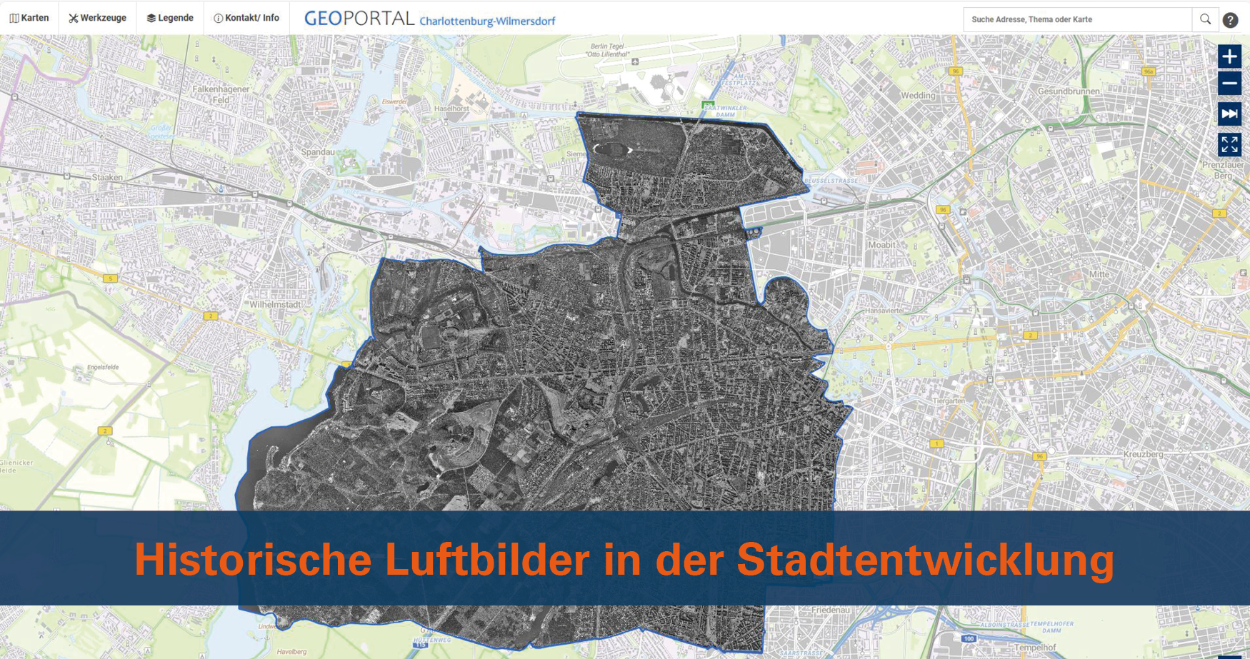
This is exactly what the Charlottenburg-Wilmersdorf district office in Berlin wanted to change: aerial photographs from 1974 were to be used to monitor building changes.
GEOYSTEMS was commissioned by the district office to create a homogeneous orthomosaic and a building layer from approximately 600 aerial photographs.
The result is impressive:
“We were aware of the weaknesses of the 1974 aerial photography, which made us all the more impressed by the high quality of the orthomosaic with sub-meter accuracy.”
Tina Jäkel from the Surveying Department at the Charlottenburg-Wilmersdorf district office
Referenzkundenbericht Bezirksamt Charlottenburg-Wilmersdorf in Berlin [in German]
 Contact


 News
 EDU Program
 Events